Tell your friends about this item:
Mapping the NC Coast: Sixteenth-Century Cartography and the Roanoke Voyages
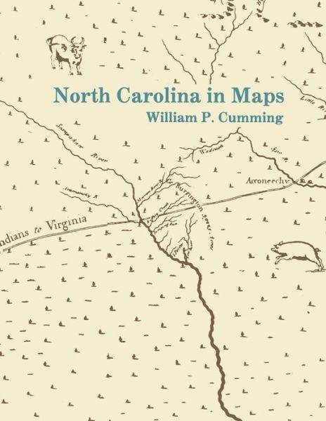
William P. Cumming
Price
Íkr 2,109
excl. VAT
Ordered from remote warehouse
Expected delivery Aug 8 - 19
Our customers say:


Add to your iMusic wish list
Mapping the NC Coast: Sixteenth-Century Cartography and the Roanoke Voyages
William P. Cumming
156 pages
| Media | Books Paperback Book (Book with soft cover and glued back) |
| Released | January 30, 1988 |
| ISBN13 | 9780865262324 |
| Publishers | North Carolina Office of Archives & Hist |
| Pages | 156 |
| Dimensions | 254 × 355 × 19 mm · 333 g |
| Language | English |