Tell your friends about this item:
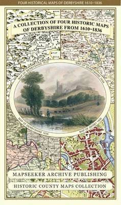
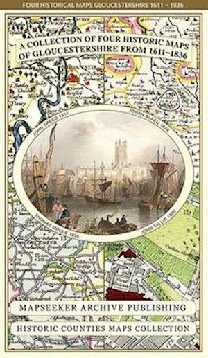
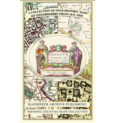
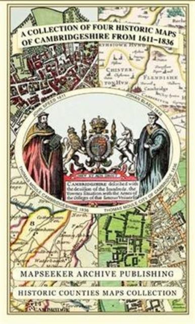
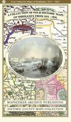
Derbyshire 1610 - 1836 - Fold Up Map that features a collection of Four Historic Maps, John Speed's County Map 1611, Johan Blaeu's County Map of 1648, Thomas Moules County Map of 1836 and Cole and Roper's Plan of the City of Derby 1806. The map's also fea Mapseeker Publishing Ltd.
Do you have a profile? Log in
Get notified about new Mapseeker Publishing Ltd. releases
Our customers say:


Add to your iMusic wish list
Derbyshire 1610 - 1836 - Fold Up Map that features a collection of Four Historic Maps, John Speed's County Map 1611, Johan Blaeu's County Map of 1648, Thomas Moules County Map of 1836 and Cole and Roper's Plan of the City of Derby 1806. The map's also fea
Mapseeker Publishing Ltd.
This folded map (890mm x 1000mm when unfolded) is an ideal souvenir for tourists to Derbyshire and also a valuable reference resource for local and family history research. It includes 4 Historic maps of Derbyshire.
1 pages
| Media | Books Map (Land or nautical charts) |
| Released | November 18, 2014 |
| ISBN13 | 9781844918348 |
| Publishers | Historical Images Ltd |
| Pages | 1 |
| Dimensions | 228 × 139 × 55 mm · 104 g |





![Cover for Paul Leslie Line · Wildfire Through Staffordshire - Armchair Time Travellers Railway Atlas (Hardcover Book) [Special edition] (2014)](https://imusic.b-cdn.net/images/item/original/976/9781844917976.jpg?paul-leslie-line-2014-wildfire-through-staffordshire-armchair-time-travellers-railway-atlas-hardcover-book&class=scaled&v=1400783719)