Tell your friends about this item:
IGN TOP75: TOP75: 75013 Verdon - Lac Sainte-Croix - Plateau de Valensole Ign
Our customers say:


IGN TOP75: TOP75: 75013 Verdon - Lac Sainte-Croix - Plateau de Valensole
Ign
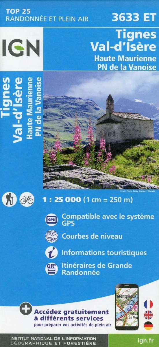
IGN’s range of maps all feature comprehensive road detail with road identificationnumbering, roadside rest areas, to access every particular place. Added features such nature park, reserves boundaries, cycle tracks, hiking trailsstopover lodges, towns of artistic interest, museum, winter sport sites, climbing rock,leisure parks and much more convenient information make these maps appropriateto suit all visitors needs. Printed one side and complete with the city index the TOP75 are the ideal travelcompanion. A very easy to read cartography including relief shading and contours (equidistance = 40 m) Scale of the general map 1 : 75 000 (1cm = 750m). Bonus at least, 5 extracts of TOP25 Scale 1 : 25 000 (1cm = 250m). Focuses on the most famous spot of the covered area enable every user to enjoy outdoor activities aswell.
Målestok: 1:50.000 Serie: Trails Illustrated Map Serienr.: 200
| Media | Books Print (Various printed materials) |
| Released | March 13, 2017 |
| ISBN13 | 9782758538561 |
| Publishers | IGN |
| Genre | Maps & Guides |
| Dimensions | 220 × 320 × 10 mm · 108 g |
| Language | French |