
Tell your friends about this item:
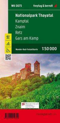
Thayatal National Park Hiking, Cycling and Leisure map: 1:50,000 scale map Freytag Berndt
Price
Íkr 1,999
excl. VAT
Ordered from remote warehouse
Expected delivery Dec 30 - Jan 7, 2026
 Christmas presents can be returned until 31 January

Our customers say:


Add to your iMusic wish list
Thayatal National Park Hiking, Cycling and Leisure map: 1:50,000 scale map
Freytag Berndt
Thanks to the detailed digital cartography and the precise scales, freytag & berndt hiking maps are ideal companions for hiking and cycling. They are revised regularly and contain updated information on hiking trails, cycling and mountain biking trails, huts, vantage points, sights and leisure facilities. - 90 x 60 cm - double-sided
1 pages
| Media | Books Map (Land or nautical charts) |
| Released | April 1, 2022 |
| ISBN13 | 9783707919349 |
| Publishers | Freytag-Berndt |
| Pages | 1 |
| Dimensions | 200 × 300 × 10 mm · 113 g |
| Language | German |
More by Freytag Berndt
Show all

![Cover for Freytag Berndt · Italy Road Atlas (1:150,000) (Spiral Book) [New edition] (2023)](https://imusic.b-cdn.net/images/item/original/663/9783707921663.jpg?freytag-berndt-2023-italy-road-atlas-1-150-000-spiral-book&class=scaled&v=1675698233)
![Cover for Freytag Berndt · Sweden Southeast 1:250,000: Stockholm - Uppsala - Linkoping (Map) [New edition] (2022)](https://imusic.b-cdn.net/images/item/original/936/9783707919936.jpg?freytag-berndt-2022-sweden-southeast-1-250-000-stockholm-uppsala-linkoping-map&class=scaled&v=1675698234)


See all of Freytag Berndt ( e.g. Map , Book , Spiral Book and Paperback Book )